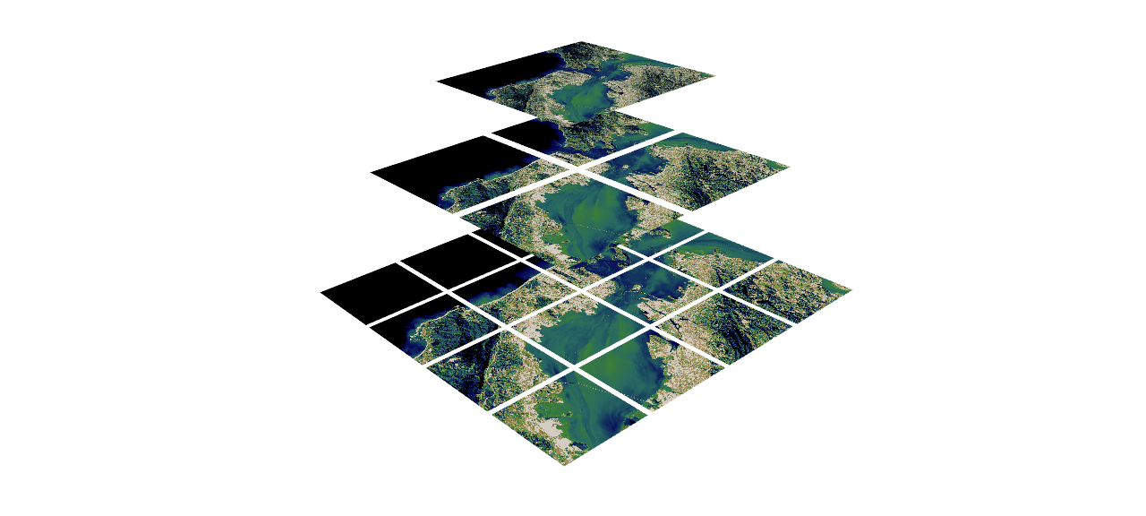
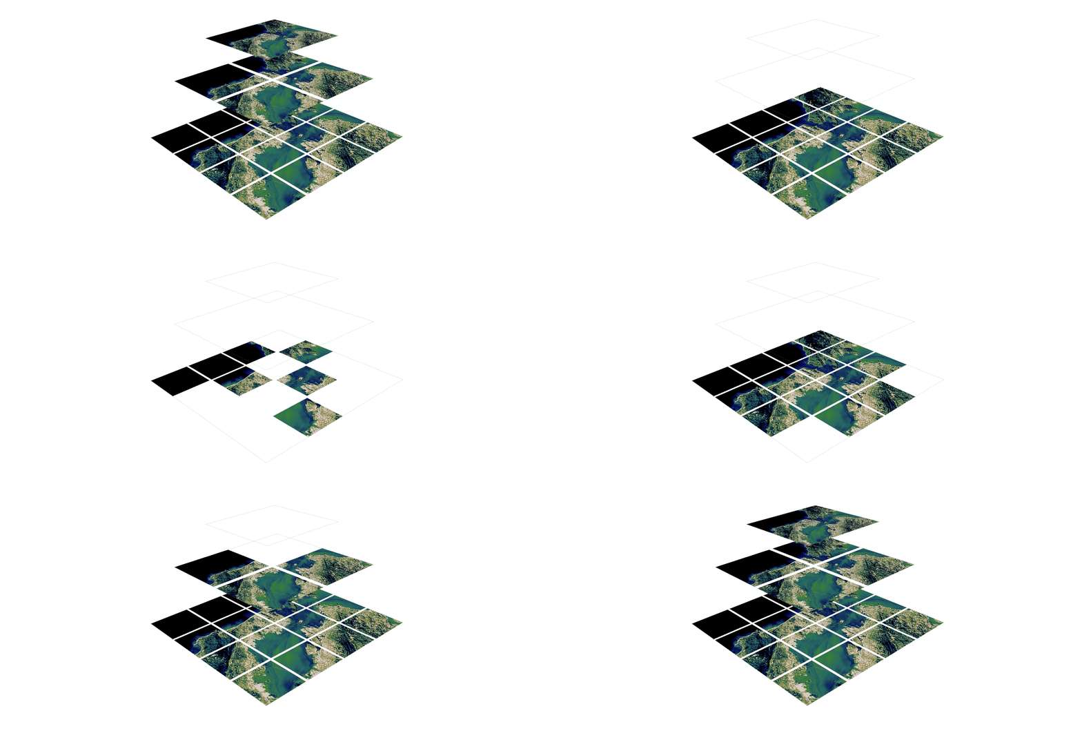
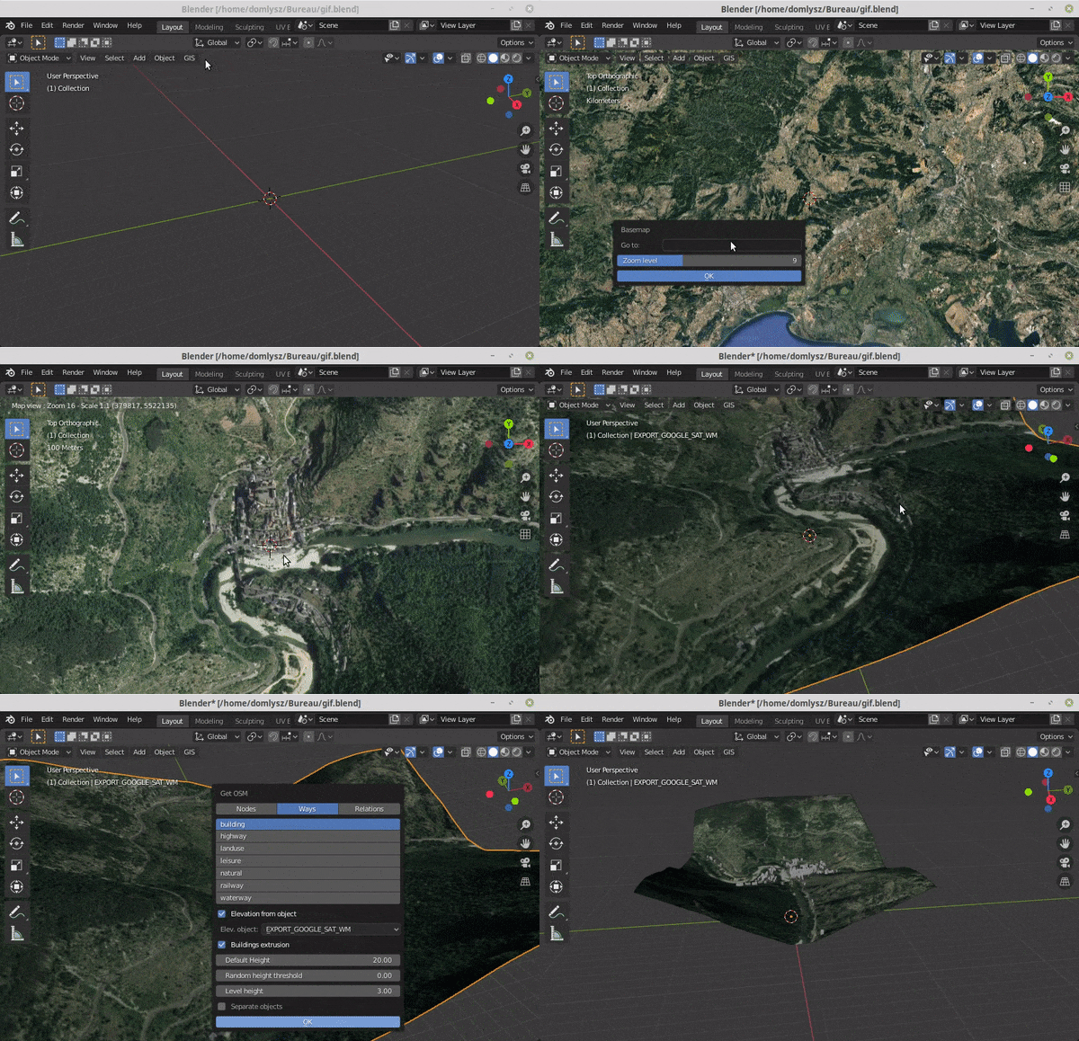
3D extension built off of shapely to make working with geospatial/trajectory data easier in python.

Overview

PyGeoShape

3D extension to shapely and pyproj to make working with geospatial/trajectory data easier in python.

Getting Started

Installation

pip

The easiest way to install PyGeoShape is by using pip:

pip install pygeoshape

source

To install the package from source, first clone the repository to a location of your choosing:

git clone https://github.com/marcbrittain/PyGeoShape.git

Then navigate to the directory:

cd PyGeoShape

Then install using pip (note: requires python 3.6+):

pip install -e .

Examples

The core focus of this repository is to make working with 3D geospatial/geographical data easier in python. Therefore, the core element of this repository is the GeoLineString (to start).

  1. GeoLineStrings

Roadmap

This project is very early on and is something that I am working on in my free time. Getting some of the initial functionality of GeoLineStrings like intersections and coordinate transformations was a first step, but there is a long way to go. Here I list some of the next major items that need to be addressed.

  • GeoLineStrings

    1. Handling heterogeneous intersection types (LineString, Point, etc.)
    2. Add function for distance calculation
    3. Add function for GeoLineString splits
    4. Optimize intersection function for efficiency
  • GeoPoint

    1. Port GeoLineString functionality to GeoPoint
  • Add additional Geo Types

    1. GeoMultiLineString
    2. GeoMultiPoint

Contributing

Contributions are always welcome. Please follow standard PEP-8 code format for contributions.

You might also like...
Rasterio reads and writes geospatial raster datasets

Rasterio Rasterio reads and writes geospatial raster data. Geographic information systems use GeoTIFF and other formats to organize and store gridded,

Summary statistics of geospatial raster datasets based on vector geometries.

rasterstats rasterstats is a Python module for summarizing geospatial raster datasets based on vector geometries. It includes functions for zonal stat

🌐  Local tile server for viewing geospatial raster files with ipyleaflet
🌐 Local tile server for viewing geospatial raster files with ipyleaflet

🌐 Local Tile Server for Geospatial Rasters Need to visualize a rather large raster (gigabytes) you have locally? This is for you. A Flask application

h3-js provides a JavaScript version of H3, a hexagon-based geospatial indexing system.

h3-js The h3-js library provides a pure-JavaScript version of the H3 Core Library, a hexagon-based geographic grid system. It can be used either in No

🌐 Local tile server for viewing geospatial raster files with ipyleaflet or folium

🌐 Local Tile Server for Geospatial Rasters Need to visualize a rather large (gigabytes) raster you have locally? This is for you. A Flask application

Calculate & view the trajectory and live position of any earth-orbiting satellite

satellite-visualization A cross-platform application to calculate & view the trajectory and live position of any earth-orbiting satellite in 3D. This

Blender addons to make the bridge between Blender and geographic data

Blender GIS Blender minimal version : 2.8 Mac users warning : currently the addon does not work on Mac with Blender 2.80 to 2.82. Please do not report

 An API built to format given addresses using Python and Flask.
An API built to format given addresses using Python and Flask.

An API built to format given addresses using Python and Flask. About The API returns properly formatted data, i.e. removing duplicate fields, distingu

A light-weight, versatile XYZ tile server, built with Flask and Rasterio :earth_africa:

Terracotta is a pure Python tile server that runs as a WSGI app on a dedicated webserver or as a serverless app on AWS Lambda. It is built on a modern

Releases(v0.0.4)
  • v0.0.4(Jan 9, 2022)

    What's Changed

    • update main to v0.0.4 by @marcbrittain in https://github.com/marcbrittain/PyGeoShape/pull/3

    Full Changelog: https://github.com/marcbrittain/PyGeoShape/compare/v0.0.3...v0.0.4

    Source code(tar.gz)
    Source code(zip)
  • v0.0.3(Jan 1, 2022)

    What's Changed

    • v0.0.3 by @marcbrittain in https://github.com/marcbrittain/PyGeoShape/pull/2

    Full Changelog: https://github.com/marcbrittain/PyGeoShape/compare/v0.0.2...v0.0.3

    Source code(tar.gz)
    Source code(zip)
Owner
Marc Brittain
MIT Lincoln Laboratory | Ph.D. | Deep Reinforcement Learning, Multi-Agent Systems
Marc Brittain
Processing and interpolating spatial data with a twist of machine learning

Documentation | Documentation (dev version) | Contact | Part of the Fatiando a Terra project About Verde is a Python library for processing spatial da

Fatiando a Terra 468 Dec 20, 2022
Color correction plugin for rasterio

rio-color A rasterio plugin for applying basic color-oriented image operations to geospatial rasters. Goals No heavy dependencies: rio-color is purpos

Mapbox 111 Nov 15, 2022
Track International space station with python

NASA-ISS-tracker Track International space station with python Modules import json import turtle import urllib.request import time import webbrowser i

Nikhil Yadav 8 Aug 12, 2021
Cloud Optimized GeoTIFF creation and validation plugin for rasterio

rio-cogeo Cloud Optimized GeoTIFF (COG) creation and validation plugin for Rasterio. Documentation: https://cogeotiff.github.io/rio-cogeo/ Source Code

216 Dec 31, 2022
A service to auto provision devices in Aruba Central based on the Geo-IP location

Location Based Provisioning Service for Aruba Central A service to auto provision devices in Aruba Central based on the Geo-IP location Geo-IP auto pr

Will Smith 3 Mar 22, 2022
Histogram matching plugin for rasterio

rio-hist Histogram matching plugin for rasterio. Provides a CLI and python module for adjusting colors based on histogram matching in a variety of col

Mapbox 75 Sep 23, 2022
A Python package for delineating nested surface depressions from digital elevation data.

Welcome to the lidar package lidar is Python package for delineating the nested hierarchy of surface depressions in digital elevation models (DEMs). I

Qiusheng Wu 166 Jan 03, 2023
Rasterio reads and writes geospatial raster datasets

Rasterio Rasterio reads and writes geospatial raster data. Geographic information systems use GeoTIFF and other formats to organize and store gridded,

Mapbox 1.9k Jan 07, 2023
A ready-to-use curated list of Spectral Indices for Remote Sensing applications.

A ready-to-use curated list of Spectral Indices for Remote Sensing applications. GitHub: https://github.com/davemlz/awesome-ee-spectral-indices Docume

David Montero Loaiza 488 Jan 03, 2023
Construct and use map tile grids in different projection.

Morecantile +-------------+-------------+ ymax | | | | x: 0 | x: 1 | | y: 0 | y: 0

Development Seed 67 Dec 23, 2022
Search and download Copernicus Sentinel satellite images

sentinelsat Sentinelsat makes searching, downloading and retrieving the metadata of Sentinel satellite images from the Copernicus Open Access Hub easy

837 Dec 28, 2022
A public data repository for datasets created from TransLink GTFS data.

TransLink Spatial Data What: TransLink is the statutory public transit authority for the Metro Vancouver region. This GitHub repository is a collectio

Henry Tang 3 Jan 14, 2022
Python 台灣行政區地圖 (2021)

Python 台灣行政區地圖 (2021) 以 python 讀取政府開放平台的 ShapeFile 地圖資訊。歡迎引用或是協作 另有縣市資訊、村里資訊與各種行政地圖資訊 例如: 直轄市、縣市界線(TWD97經緯度) 鄉鎮市區界線(TWD97經緯度) | 政府資料開放平臺: https://data

WeselyOng 12 Sep 27, 2022
User friendly Rasterio plugin to read raster datasets.

rio-tiler User friendly Rasterio plugin to read raster datasets. Documentation: https://cogeotiff.github.io/rio-tiler/ Source Code: https://github.com

372 Dec 23, 2022
A GUI widget for Linux to show current time in different timezones.

A GUI widget to show current time in different timezones (under development). To use this widget: Run scripts/startup.py Select a country. A list of t

B.Jothin kumar 11 Nov 10, 2022
Python module and script to interact with the Tractive GPS tracker.

pyTractive GPS Python module and script to interact with the Tractive GPS tracker. Requirements Python 3 geopy folium pandas pillow usage: main.py [-h

Dr. Usman Kayani 3 Nov 16, 2022
Manage your XYZ Hub or HERE Data Hub spaces from Python.

XYZ Spaces for Python Manage your XYZ Hub or HERE Data Hub spaces and Interactive Map Layer from Python. FEATURED IN: Online Python Machine Learning C

HERE Technologies 30 Oct 18, 2022
Hapi is a Python library for building Conceptual Distributed Model using HBV96 lumped model & Muskingum routing method

Current build status All platforms: Current release info Name Downloads Version Platforms Hapi - Hydrological library for Python Hapi is an open-sourc

Mostafa Farrag 15 Dec 26, 2022
Build, deploy and extract satellite public constellations with one command line.

SatExtractor Build, deploy and extract satellite public constellations with one command line. Table of Contents About The Project Getting Started Stru

Frontier Development Lab 70 Nov 18, 2022
A package to fetch sentinel 2 Satellite data from Google.

Sentinel 2 Data Fetcher Installation Create a Virtual Environment and activate it. python3 -m venv venv . venv/bin/activate Install the Package via pi

1 Nov 18, 2021